High-accuracy geospatial solutions for infrastructure, urban planning, irrigation, and environmental projects.
About Lidar and DGPS Survey Projects
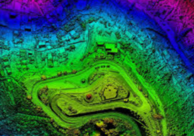
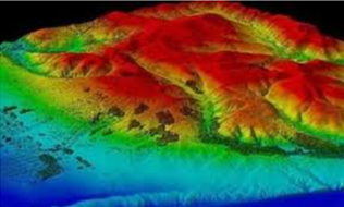
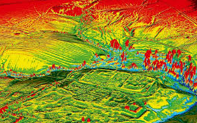
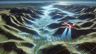
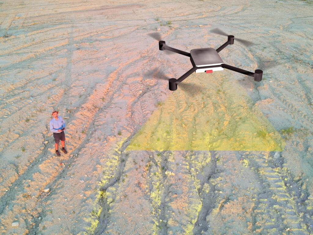
Our LiDAR and DGPS survey projects provide highly accurate geospatial data for terrain mapping, land analysis, and infrastructure planning. With cutting-edge LiDAR technology, we capture detailed 3D models of the earth’s surface, while DGPS ensures centimeter-level positioning accuracy. These surveys support engineering, construction, environmental studies, and development projects across varied landscapes. By combining precision and efficiency, we deliver reliable data essential for decision-making, helping clients achieve better planning, design, and execution in complex projects with confidence and accuracy.
We specialize in advanced geospatial mapping using LiDAR-equipped drones and DGPS technology. Our surveys provide centimeter-level accuracy, high-resolution 3D models, and reliable topographic data—ideal for irrigation, flood management, smart cities, highways, mining, and infrastructure development.
Our Survey Solutions
LiDAR Drone Survey – High-density point cloud data for terrain & vegetation mapping.
DGPS Ground Survey – Centimeter accuracy for boundary & control points.
Contour & Topographic Mapping – Digital elevation models for planning
Flood & Drainage Studies – Hydrology and flood modeling support.
Infrastructure Survey – Roads, railways, urban development projects.